Transportation infrastructure in the United States is at an inflection point. Aging highways, congested urban corridors, and growing demand for real-time safety data are pushing government agencies at every level to rethink how they monitor, manage, and modernize their roadways, bridges, and transit systems. Artificial intelligence, Internet of Things (IoT) sensors, drone-based inspections, and intelligent transportation systems (ITS) are no longer experimental concepts confined to pilot programs. They are becoming foundational capabilities that state departments of transportation, county public works departments, and city transit authorities are actively procuring and deploying.
For government IT leaders evaluating these investments, the critical question is not whether to adopt intelligent transportation technology, but how to build a cloud platform that can ingest data from thousands of edge devices, apply AI models in real time, and deliver actionable insights to operations teams and decision-makers. Microsoft Azure provides a comprehensive set of services purpose-built for this challenge.
The Intelligent Transportation Landscape
The U.S. Department of Transportation has been investing in Intelligent Transportation Systems (ITS) research for decades, with a current focus on connected vehicles, automation, and emerging technologies that improve safety and mobility (ITS Joint Program Office - its.dot.gov). At the state and local level, this translates into practical projects such as:
- Adaptive traffic signal control that uses real-time sensor data to reduce congestion and improve emergency vehicle response times
- Bridge and roadway structural monitoring using IoT sensors embedded in infrastructure
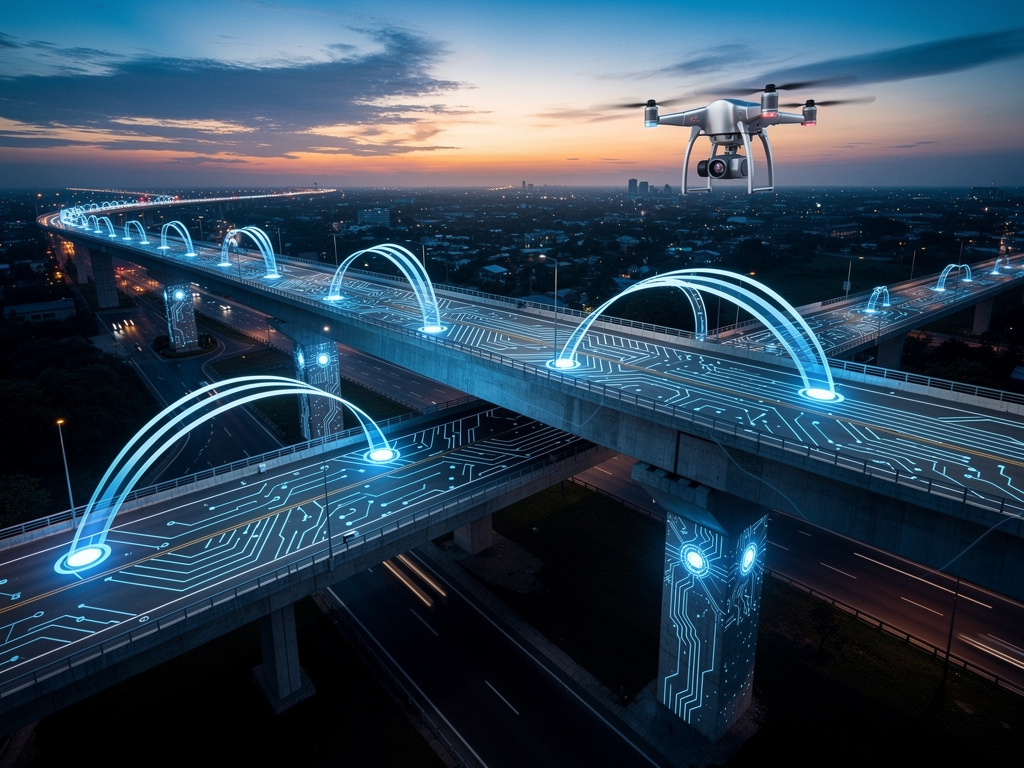
- Drone-based inspections of bridges, overpasses, and remote highway segments that reduce risk to human inspectors
- Connected vehicle data exchanges where vehicles communicate with roadside infrastructure to improve safety
- Predictive maintenance for transit fleets using telemetry from buses, rail cars, and maintenance equipment
Each of these use cases generates enormous volumes of data that must be collected, processed, and acted upon, often in near real time. A modern cloud platform is the connective tissue that makes this possible.
Azure IoT Hub: The Data Backbone for Transportation Sensors
At the center of any intelligent transportation solution is a message hub that can reliably ingest telemetry from thousands of distributed sensors and devices. Azure IoT Hub is a fully managed service designed for exactly this purpose. It scales to millions of simultaneously connected devices and supports multiple messaging patterns including device-to-cloud telemetry, cloud-to-device commands, and file uploads.
For a state transportation agency, IoT Hub serves as the backbone connecting roadside sensors (traffic counters, weather stations, bridge strain gauges), fleet telematics devices, and drone payloads to the cloud. Key capabilities include:
- Device provisioning at scale through the IoT Hub Device Provisioning Service, enabling agencies to register and configure thousands of sensors without manual intervention
- Secure authentication using either SAS tokens or X.509 certificates, meeting the security requirements of government networks
- Message routing to downstream Azure services such as Event Hubs, Azure Stream Analytics, and Azure Storage, allowing agencies to build flexible data pipelines
- Device twin management for remotely configuring and monitoring device state, which is essential when sensors are deployed across hundreds of miles of highway
IoT Hub is available in both Azure commercial and Azure Government regions, ensuring that agencies with data residency or compliance requirements (such as CJIS or FedRAMP) can choose the deployment model that fits their needs.
Azure IoT Edge: Intelligence Where the Pavement Meets the Cloud
Not all analytics can wait for a round trip to the cloud. A traffic signal controller that needs to adjust timing in milliseconds, or a drone that must identify a structural crack during flight, requires processing at the edge. Azure IoT Edge extends Azure’s analytical capabilities to devices in the field.
IoT Edge is a device-focused runtime that lets agencies deploy containerized modules, including Azure Stream Analytics, Azure Machine Learning models, and custom code, directly onto edge hardware. This means:
- Anomaly detection at the edge: A bridge sensor array can identify unusual vibration patterns locally and alert operators immediately, rather than waiting for cloud processing
- Bandwidth optimization: Raw sensor data can be aggregated and filtered at the edge, sending only meaningful insights to the cloud, which is critical when edge devices are connected via cellular networks with limited bandwidth
- Offline operation: Edge devices continue to function even when cloud connectivity is interrupted, which is essential for remote rural highway deployments
The runtime supports Linux devices ranging from small single-board computers (like a Raspberry Pi) to industrial-grade gateways, giving agencies flexibility in their hardware procurement.
Azure AI Services: From Raw Data to Actionable Insight
Collecting data is only half the equation. Transforming sensor telemetry, drone imagery, and traffic patterns into decisions that improve safety and reduce costs requires AI. Azure provides a comprehensive suite of AI services (Foundry Tools) that integrate seamlessly with IoT workloads:
- Azure Vision can analyze imagery from drone inspections to detect cracks, corrosion, and structural deterioration in bridges and roadways, reducing the need for manual visual inspection and accelerating maintenance prioritization
- Azure Speech and Language services can power voice-enabled interfaces for operations center personnel who need hands-free interaction with monitoring systems
- Azure Machine Learning enables agencies to build custom predictive maintenance models trained on their own fleet telemetry data, forecasting when a transit bus engine or HVAC system is likely to fail
- Azure OpenAI Service can help agencies build intelligent assistants that answer questions about infrastructure status, summarize inspection reports, or draft maintenance work orders from structured data
For government customers, it is worth noting that Azure AI service availability varies between Azure commercial and Azure Government regions. Agencies should consult the Azure Government services availability page to confirm which AI services are available in their target deployment region.
Azure Maps: Geospatial Context for Every Decision
Azure Maps provides the geospatial foundation that transportation solutions require. It is not just a mapping API; it is a comprehensive platform for location intelligence that includes:
- Real-time traffic flow and incident data that can be overlaid on agency mapping applications, giving operations teams a live view of conditions across their road network
- Route optimization including support for commercial vehicles, hazardous materials routing, and electric vehicle range planning, which is directly relevant for government fleet management
- Geofencing through Azure Maps Event Grid integration, enabling agencies to trigger alerts when vehicles or equipment enter or exit designated zones (for example, a snowplow leaving its assigned route, or a drone entering restricted airspace)
- Search and geocoding services that support location-based lookups for citizen-facing applications like transit trip planners or road condition reporting tools
Azure Maps integrates natively with Azure Event Grid, meaning geofence events can trigger automated workflows, push notifications, or database updates without custom polling logic.
Azure Digital Twins: Modeling Infrastructure in the Cloud
For agencies that want to go beyond dashboards and build a true digital replica of their transportation infrastructure, Azure Digital Twins provides a platform for creating live, queryable models of physical environments.
Imagine a county bridge inventory represented as a digital twin graph where each bridge, its structural components, its embedded sensors, and its inspection history exist as connected digital entities. The bridge’s sensor feeds update the twin in real time through IoT Hub, and engineers can query the graph to answer questions like “Which bridges in the northern district have had vibration anomalies in the last 30 days?” or “What is the current load status of Bridge 47 compared to its rated capacity?”
Digital Twins uses the open Digital Twins Definition Language (DTDL) for modeling, and can route data to downstream analytics services including Azure Data Explorer, Azure Synapse Analytics, and Azure Machine Learning for historical trend analysis and predictive modeling.
Azure Stream Analytics: Real-Time Processing at Scale
Azure Stream Analytics is a fully managed stream processing engine that analyzes large volumes of data with sub-millisecond latencies. For transportation applications, it excels at:
- Geo-spatial analytics for fleet management, tracking vehicle positions, speeds, and routes in real time
- Anomaly detection in sensor telemetry, automatically identifying spikes, dips, or trends that indicate equipment failure or unusual conditions
- Real-time alerting pipelines that connect IoT Hub ingestion to notification systems, operations dashboards, or automated response workflows
Stream Analytics uses a familiar SQL-based query language and can run both in the cloud and on IoT Edge devices, giving agencies the flexibility to process data wherever it makes the most sense.
Why This Matters for Government
State and local government agencies face a unique combination of pressures when it comes to transportation infrastructure:
Aging infrastructure demands smarter monitoring. The American Society of Civil Engineers consistently rates U.S. infrastructure as needing significant investment. AI-powered monitoring can extend the useful life of bridges and roadways by catching deterioration early, enabling targeted repairs instead of costly emergency replacements.
Federal funding requires modern approaches. Federal infrastructure funding programs increasingly encourage or require the adoption of intelligent transportation technologies. Agencies that build cloud-based ITS platforms position themselves to compete more effectively for federal grants and demonstrate measurable outcomes.
Public safety is non-negotiable. Real-time traffic management, connected vehicle safety systems, and predictive maintenance for transit fleets directly impact the safety of constituents. The ability to detect and respond to dangerous conditions in seconds rather than hours can save lives.
Workforce constraints demand automation. Government agencies across the country face staffing shortages in engineering and IT. Drone-based inspections, AI-powered image analysis, and automated alerting reduce the manual workload on stretched teams while improving coverage and consistency.
Compliance and data sovereignty matter. Azure Government provides a physically isolated cloud environment that meets FedRAMP High, CJIS, and other compliance requirements. IoT Hub, Stream Analytics, and many AI services are available in Azure Government regions, giving agencies confidence that their transportation data stays within compliant boundaries.
Cost optimization through cloud scalability. Unlike traditional on-premises ITS systems that require upfront capital investment in servers and storage, Azure’s consumption-based pricing allows agencies to scale resources up or down based on actual demand, paying only for what they use.
Getting Started: A Practical Architecture
For agencies looking to begin their intelligent transportation journey, a practical starting architecture might look like this:
- Deploy IoT Hub as the central telemetry ingestion point for traffic sensors, bridge monitors, fleet telematics, and drone payloads
- Use IoT Edge at strategic locations (intersections, bridges, maintenance facilities) to run time-sensitive analytics locally
- Route data through Stream Analytics for real-time anomaly detection and alerting
- Apply Azure AI services (Vision, Machine Learning) to process drone inspection imagery and build predictive maintenance models
- Leverage Azure Maps for geospatial visualization, geofencing, and route optimization in fleet and operations applications
- Model critical infrastructure in Digital Twins to create a living, queryable representation of bridges, roadways, and transit assets
This architecture is modular. Agencies can start with a single use case, such as bridge sensor monitoring, and expand incrementally as they demonstrate value and build internal expertise.
Conclusion
The convergence of AI, IoT, and cloud computing is transforming how government agencies manage transportation infrastructure. Azure provides a comprehensive, compliant, and scalable platform that connects edge devices in the field to powerful analytics in the cloud. Whether the goal is safer bridges, smoother traffic, more efficient transit fleets, or smarter use of limited inspection resources, the building blocks are available today.
For state and local government IT leaders, the opportunity is clear: invest in a cloud-native intelligent transportation platform now, and build the foundation for decades of smarter, safer infrastructure management.